12,062 square kilometres. That is how much of Jammu and Kashmir a new peer-reviewed study places in its two highest landslide-susceptibility classes — 28.08% of the 42,950 sq km the researchers mapped.
The study was led by Avtar Singh Jasrotia of the University of Jammu's Departments of Geology and Remote Sensing & GIS, and published in the Nature-family journal Scientific Reports on 28 August 2026. Its co-authors include a geologist from Cluster University of Jammu and two scientists from ISRO's National Remote Sensing Centre in Hyderabad.
If you are a student in Jammu, this is not an abstract finding. The zones it flags are the road home for anyone from Ramban, Doda or Kishtwar — and the road to Srinagar for everyone else.
The numbers, unpacked
The researchers sorted every square kilometre of the study area into five susceptibility classes:
- Very high — 3.65% (1,569.05 sq km)
- High — 24.43% (10,492.89 sq km)
- Medium — 51.56% (22,147.24 sq km)
- Low — 18.81% (8,079.22 sq km)
- Very low — 1.54% (662.03 sq km)
Add the top two and you get the headline figure: just over a quarter of the region mapped sits in terrain the study treats as genuinely dangerous.
So why are the roads the problem?
This is the part that should change how you read every monsoon highway closure.
The team weighted eight variables — slope, geology, proximity to roads, aspect, geomorphology, land use and land cover, elevation and proximity to streams — and then tested the resulting map with MaxEnt, a separate statistical model. MaxEnt's verdict was blunt: proximity to roads accounted for 71.3% of the relative contribution, and slope for 16.3%.
In other words, how close a place is to a road predicted landslides more than four times better than how steep it is.
The paper says why in one line: “The upgradation of all these roads leads to the disruption of natural slopes, and therefore landslide events have increased in the study area.”
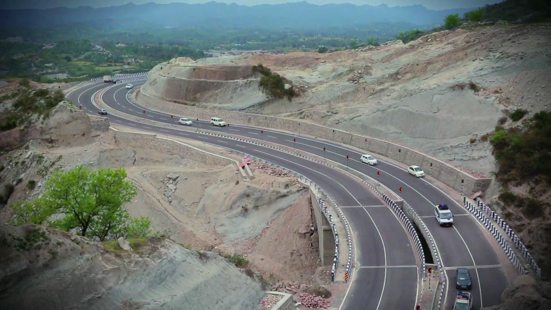
Cutting a wider carriageway into a Himalayan hillside removes the toe of the slope above it. That is the mechanism behind the Ramban stretch that shuts every few weeks — not simply “bad weather”.
Does the map actually work?
A susceptibility map is only worth the validation behind it, so it is worth saying what this one was tested against.
The team built an inventory of 669 recorded landslides using ISRO's LISS-IV satellite imagery, the Field Landslide Inventory Mapping app and their own field visits. When they checked those 669 events against the finished map, 87% of them fell inside the high and very high zones.
The model returned an AUC of 0.82 on training data and 0.807 on test data — on the standard reading, good but not perfect predictive skill. This is a planning tool, not a forecast of where a slope will fail next Tuesday.
Which roads and districts get named
The corridors the paper identifies as running through high-susceptibility terrain include NH-44 (the Jammu–Srinagar highway), NH-244, NH-1A, NH-3, NH-144A, the Mughal Road, and the Kishtwar–Keylong road.
On districts, the clusters named are Ramban, Doda, Kishtwar, Poonch, Rajouri, Reasi and Udhampur on the Jammu side, along with Anantnag, Ganderbal, Baramulla and Kathua.
Five of those are districts young people commute out of to study in Jammu city. If you travel home on NH-44 or NH-244 in the monsoon, you are on the list.
What the researchers actually ask for
The recommendation is short and specific: “High and very high susceptibility zones require immediate attention through slope protection, controlled road construction, and continuous monitoring.”
Note the middle phrase. The paper is not arguing against building roads in the hills — the tunnels have already cut the Jammu–Srinagar drive dramatically, as we covered in June. It is arguing that where the cutting happens should be decided against a map like this one.
The part that is a career, not a warning
There is a second reading of this paper, and it is the more useful one if you are 20 and studying in Jammu.
Every input here — satellite imagery, GIS layers, a field-collected inventory, a statistical model — is work done by people trained in remote sensing and geospatial analysis. Two of the seven authors are at the University of Jammu's Department of Remote Sensing & GIS; one is at Cluster University of Jammu; one is at Northumbria University in the UK. That is a real pipeline, and it starts in a department in this city.
It also runs on data anyone can now get. ISRO opened NISAR radar data on its Bhoonidhi portal earlier this year — we wrote about what Jammu students can build with it — and landslide monitoring is precisely the use case it was opened for.
The study is open access. If you are doing a geology, geography, environmental science or computer science degree here, it is worth reading the methods section rather than the headline.
Sources
- Jasrotia, A.S., Sharma, A., Das, I.C., Martha, T.R., Kumar, R., Kumar, V. & Rasyal, A., “GIS-based multi-criteria landslide susceptibility assessment in the Northwestern Himalaya, Jammu and Kashmir, India”, Scientific Reports 16:27100, 28 August 2026 — nature.com/articles/s41598-026-61626-z (DOI 10.1038/s41598-026-61626-z)
- Open-access full text: PubMed Central, PMC13524933
