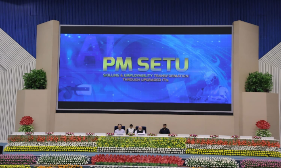
On 3 September 2026, the 91st meeting of the Jammu Development Authority's Board of Directors took up proposed modifications to the Revised Jammu Master Plan-2032. The meeting was chaired by Chief Minister Omar Abdullah, with Chief Secretary Atal Dulloo and Commissioner Secretary (Planning) Alice Vaz present and Jammu-based officers joining by video conference.
That sentence will mean very little unless you know what a master plan is. So: it is the legal document that decides what can be built where in Jammu — which land is residential, which is commercial, which is industrial, which is green belt, which is not to be built on at all. It sets the boundaries the JDA approves or refuses construction against. Rent, where a new college or hospital can go, whether a riverbed gets concrete on it, and how far the city sprawls all sit downstream of it.
Jammu's has been stuck for a long time. Here is how it got here.
Before 2024: a plan that needed redrawing
The Master Plan-2032 was approved, and then reopened for revision because the city it described had outgrown it. The planning area was expanded from 652.33 sq km to 777.84 sq km, bringing 350 revenue villages inside the plan boundary. That expansion is the root of most of what followed: a plan boundary and a revenue-village boundary are drawn by different departments for different purposes, and they do not naturally line up.
14 October 2024 to 3 January 2025: the public window
The revised draft was placed in the public domain for 80 days. Anyone could read it and file an objection or a suggestion. 143 objections and suggestions were received in that window.
That is not a large number for a city of Jammu's size, and it is worth sitting with. A master plan is the single most consequential planning document a resident can comment on, and it drew fewer responses than a moderately busy municipal grievance line.
16 and 23 January 2025: inquiry and hearings
A board of inquiry was constituted by government order dated 16 January 2025 to examine the objections, and public hearings were held on 23 January 2025. That is the statutory step where objectors get to argue their case in person before the plan goes up for final approval.
February 2026: why it was still not approved
More than a year after the hearings, the plan remained under government consideration. The reasons given were technical rather than political: rectification of land-use zoning, alignment of the plan boundary with revenue village boundaries, incorporation of the public objections and suggestions, and collection and verification of data from multiple departments.
None of that is trivial. Getting a zoning map wrong by one revenue village means a family discovers their plot is agricultural land when they try to build on it.
3 September 2026: what is now on the table
The modifications taken up at the 91st board meeting cover four things:
Fifteen planning zones, with land-use categories rationalised across them.
Geo-referenced mapping — tying the plan to actual satellite coordinates rather than drawn lines, which is what makes a boundary dispute resolvable.
Alignment of major infrastructure projects with the plan, so that roads and projects already under execution do not cut across land-use categories that forbid them.
Environmental and heritage safeguards, including — stated explicitly — protection of the Tawi riverbed and watercourses.
The draft also earmarks land for housing across income groups, including for Economically Weaker Sections, and commits to protecting green belts, water bodies and forest cover as the boundary expands.
Why a 22-year-old in Jammu should care
Three concrete reasons.
Rent and where you can afford to live. How much residential land is zoned, and where, is the main lever government has over housing supply. The EWS earmarking is the part of this plan that most directly touches people entering the rental market for the first time.
The riverbed. Jammu's relationship with the Tawi is being reshaped on several fronts at once — the master plan on one side, and the ₹1,568-crore TARANG riverfront project on the other. A watercourse protection clause in the statutory plan is the thing that outlives any individual project.
Where institutions can go. Colleges, hospitals, industrial estates and IT space all need land zoned to permit them. If you have ever wondered why a particular facility ended up 20 km outside the city, the answer is usually in a land-use map.
What happens next
The revision still needs final government approval before it becomes the operative plan. Until that happens, the older plan remains in force, and the expanded 777.84 sq km area is being administered against a document that predates it.
The practical thing to know is this: the public objection window for this revision has closed. It ran for 80 days and it is done. The next time a master plan is opened for comment in Jammu — for this document's successor, or for any amendment that requires fresh publication — that is the window worth actually using.