Every so often a story comes out of a Jammu classroom that quietly rewrites what "a student project" is allowed to look like. This is one of them. Three third-year B.Tech students from the University of Jammu — Adil Mahajan, Tavishi Amla and Gourav — have built and launched TerraGIS, a full desktop Geographic Information System (GIS) software that is now available to download in more than 240 countries, both from its official website and the Microsoft Store.
For young readers who have watched wave after wave of "skilling" workshops come and go, the headline here is simple: this is not a certificate or a hackathon prototype that dies on a pen drive. It is a shipped product — the kind of thing a working professional in surveying, urban planning or disaster management could actually open and use tomorrow morning.
What TerraGIS actually does
GIS software is the engine behind almost every map you have ever relied on — from the route your delivery takes to the way a city plans a new drain or a new road. It lets you layer data on top of geography: population, elevation, land use, water bodies, buildings. Until now, the serious tools in this space have mostly been expensive foreign products or steep, intimidating open-source packages.
TerraGIS packs a genuinely professional feature set. According to the team, it handles vector editing and raster data, offers AI-assisted segmentation (letting the software automatically pick out features from an image), supports buffer analysis, WMTS basemaps, the GeoPackage format, clean PDF exports, and even drone-survey workflows. In plain terms: it can take raw aerial or satellite imagery and turn it into the kind of analysed, annotated map a planner or a researcher needs.
From 'Design Your Degree' to the Microsoft Store
The three built TerraGIS through the University of Jammu's flagship Design Your Degree programme — an interdisciplinary B.Tech that lets students stitch together their own course of study rather than march down a fixed syllabus. It is exactly the kind of freedom that lets a mapping idea, a coding habit and a real-world problem collide.
They were mentored by Prof. Jatinder Manhas, who guided the technical build. The momentum after launch was immediate: the team reported crossing 30-plus installations within the first two days, with users arriving from across the world through the Microsoft Store listing and the product site, terragis.co.in.
Why this matters for Jammu's youth
There is a tired assumption — sometimes repeated by students themselves — that "real" tech products only come out of the metros, out of the IITs, out of Bengaluru. TerraGIS is a direct, local rebuttal. It was built by undergraduates in Jammu, mentored on a Jammu campus, and it competes in a global category.
University of Jammu Vice Chancellor Prof. Umesh Rai framed the achievement in exactly those terms, saying the students had demonstrated "how student-led technological ideas can evolve into globally accessible technology products." That is the part worth underlining for anyone in a Jammu college right now: the distance between a course project and a shipped product is smaller than it looks, if the mentorship and the freedom to experiment are there.
Why a GIS tool, of all things, from Jammu
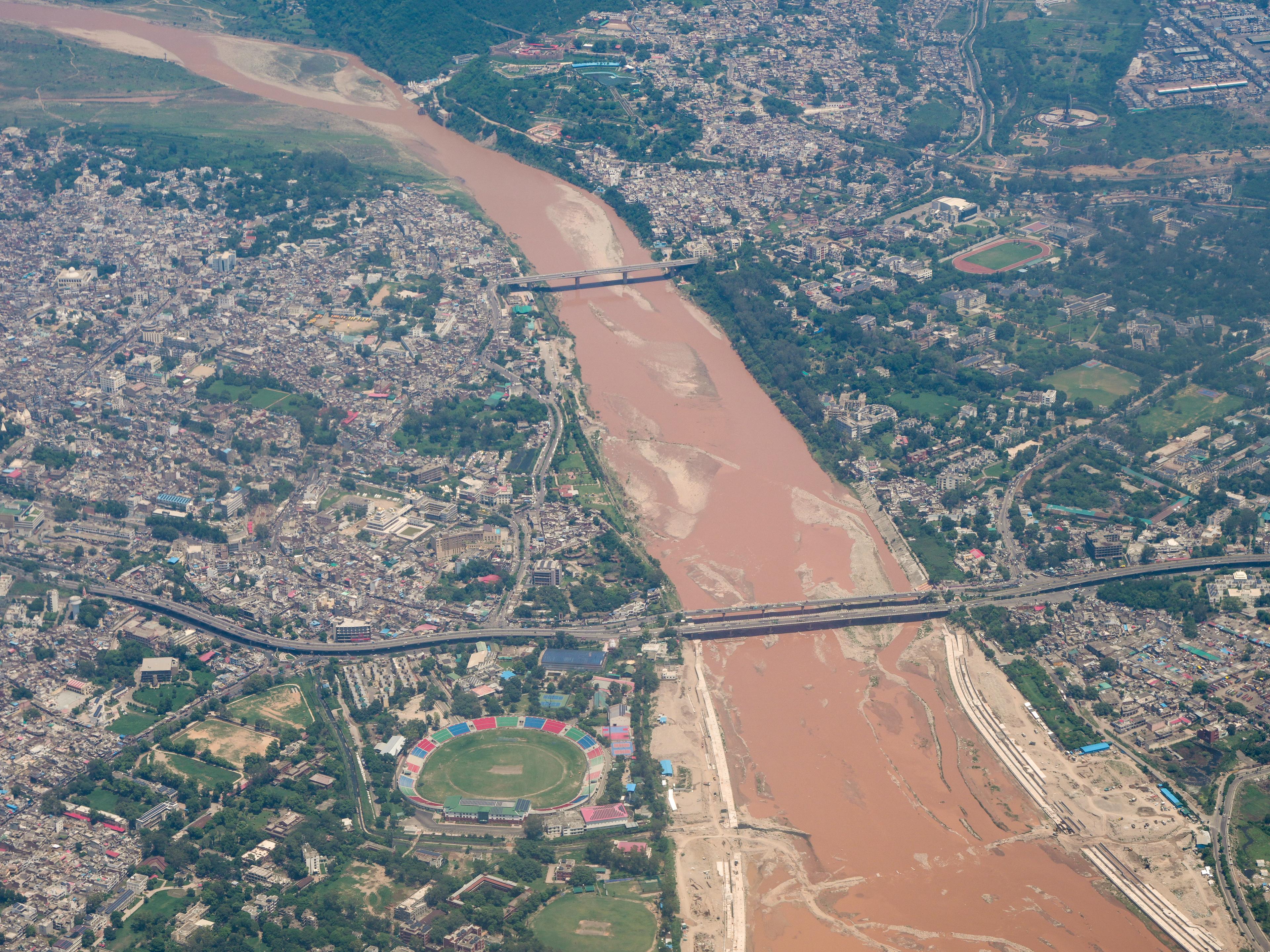
There is something quietly fitting about this particular product coming out of this particular region. Geospatial technology is not abstract here. Jammu sits on the flood-prone Tawi; the wider J&K deals every year with cloudbursts, landslides, shifting glaciers and the enormous logistics of pilgrimages and tourism. Every one of those problems is, at its core, a mapping problem — where the water goes, which slopes are unstable, how a crowd of lakhs moves through a valley. Software that can ingest drone and satellite imagery and turn it into usable analysis is exactly the kind of capability the region has historically had to import. Building that skill locally, in a Jammu classroom, is not a small thing.
The bigger picture
TerraGIS lands at a moment when Jammu is trying hard to build an innovation base — an IT and Innovation Park is being readied at IIT Jammu, incubation centres are multiplying, and startup talk is everywhere. But talk is cheap; a live, downloadable product is not. A homegrown GIS tool is also strategically apt for this region: geospatial skills feed directly into flood mapping, tourism planning, agriculture and infrastructure — all areas where Jammu and the wider J&K need local expertise rather than imported software licences.
What a student can take from this
Not everyone reading this is going to write mapping software. But the pattern the TerraGIS team followed is copyable in almost any field. They did not wait for a company to hire them and hand them a problem; they picked a real one and built toward it inside the structure their degree already gave them. They leaned on a mentor rather than trying to figure out everything alone. And crucially, they shipped — they put the product in front of real users on a real platform instead of letting it sit as a "final year project" nobody outside the viva ever sees. In a city where students often feel that opportunity lives elsewhere, that sequence — problem, mentor, ship — is the most portable lesson of all.
For students weighing whether to spend their summer on yet another passive online course or on actually building something, the message from Adil, Tavishi and Gourav is hard to argue with. Pick a real problem. Find a mentor. Ship it. The Microsoft Store does not check which city you are from.
Sources: JK Monitor — "Design Your Degree Students of Jammu University Launch TerraGIS"; University of Jammu.